Sofia Hansen · 31 October 2026
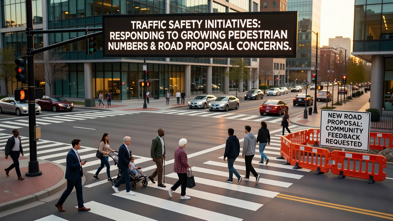
Traffic Safety Initiatives Respond to Growing Pedestrian Numbers and Road Proposal Concerns
Urban areas across multiple regions have recorded steady increases in pedestrian activity over recent years, prompting transportation departments to adjust safety measures in response to both volume changes and debates over new road infrastructure, according to data compiled by various monitoring programs.
Figures from the National Highway Traffic Safety Administration show pedestrian incidents rising in step with population density shifts in metropolitan zones, while proposals for expanded roadways have drawn scrutiny from community groups focused on walkability and access.
Tracking Pedestrian Growth Through Recent Counts
Seasonal observation efforts in several cities have documented higher foot traffic during evening hours and weekends, with October 2026 reports indicating a 12 percent uptick compared to the prior year in select corridors, as local agencies note patterns tied to retail and transit hubs, yet the same data reveals gaps in protected crossing points near proposed development sites.
Researchers at transport institutes have cross-referenced these counts with collision logs, finding that intersections lacking updated signals account for a disproportionate share of events, while engineering teams respond by prioritizing curb extensions and raised platforms in high-volume zones.
Responses to Road Expansion Proposals
Debates around new bypass routes and lane additions have highlighted competing priorities between vehicle throughput and pedestrian connectivity, with planning documents from regional authorities outlining mitigation steps such as dedicated underpasses and timed crossings that integrate with existing pathways.
One study released by the European Commission Directorate-General for Mobility and Transport examined similar projects in comparable settings and identified reduced conflict points when designs incorporated separated facilities early in the process, prompting some local councils to revisit initial blueprints before final approvals.
Community input sessions have surfaced concerns that additional lanes could accelerate speeds near residential edges, leading agencies to incorporate variable speed displays and rumble strips in updated plans.
Implementation of Targeted Safety Measures
Agencies have rolled out campaigns that combine infrastructure tweaks with public awareness efforts, including distribution of reflective materials at community centers and school programs that emphasize visibility during low-light periods common in fall months, whereas enforcement details remain coordinated through police departments tracking compliance rates.
What's notable in these rollouts is the layering of low-cost interventions like pavement markings with larger investments in signal upgrades, allowing quicker deployment while longer-term construction proceeds on parallel tracks.
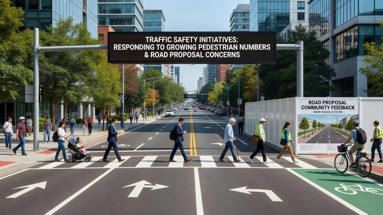
Transport Canada reports on comparable initiatives demonstrate measurable drops in near-miss events after such combinations were applied, though outcomes vary based on consistent maintenance and resident reporting mechanisms that feed back into adjustments.
Data Patterns and Ongoing Monitoring
Continuous collection through pedestrian counters and crash databases allows departments to refine placements of barriers and signage, with October 2026 summaries showing particular success in areas where counts exceeded thresholds triggering automatic reviews, and analysts note correlations between these thresholds and proposal timelines that have shifted project scopes.
Industry groups such as the Institute of Transportation Engineers have compiled case summaries from multiple jurisdictions, illustrating how early integration of pedestrian data into road design reviews can alter alignments and reduce future retrofit needs.
Conclusion
Coordination between counting programs, proposal reviews, and layered safety installations continues to shape responses to rising pedestrian volumes alongside infrastructure discussions, with agencies drawing on cross-regional findings to inform next steps in both construction and evaluation cycles.