Zara Meier · 3 October 2026
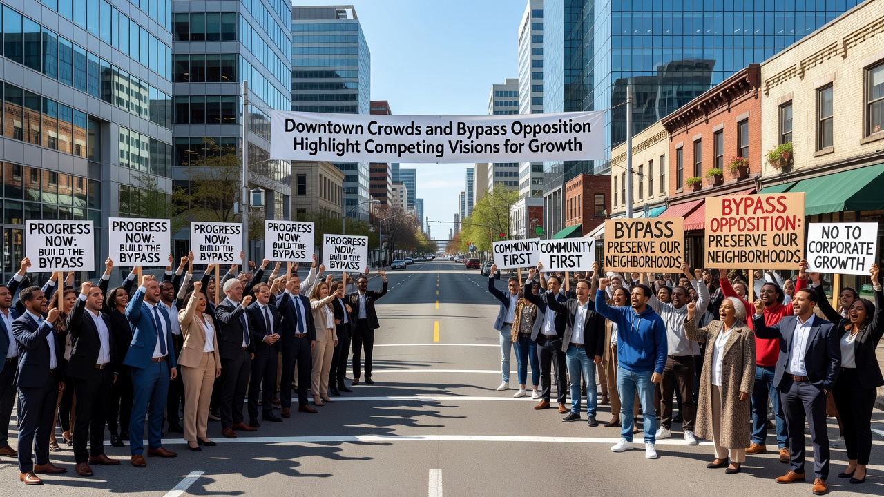
Downtown Crowds and Bypass Opposition Highlight Competing Visions for Growth
City centers across various regions continue to draw larger numbers of visitors and residents while proposals for peripheral bypass roads encounter organized resistance that underscores two distinct approaches to managing expansion. Data from transportation agencies shows pedestrian activity in core districts rising steadily through 2025 and into 2026, whereas traffic modeling from state departments indicates that new outer routes could shift volumes away from established commercial zones. Observers note that these patterns emerge in multiple municipalities where officials balance density goals against calls for improved regional connectivity.
Patterns of Increased Foot Traffic in Urban Cores
Records compiled by local planning offices reveal that downtown areas have experienced measurable upticks in daily visitors, with foot counts climbing as mixed-use developments add residential units above retail spaces. Studies conducted by the US Department of Transportation document how such concentrations support public transit usage and reduce per-capita vehicle miles traveled when amenities remain clustered. One analysis released in early 2026 tracked midday pedestrian volumes exceeding prior-year figures by double-digit percentages in comparable mid-sized communities, attributing the change to new housing completions and event programming that extends hours of activity.
Business associations report corresponding gains in daytime sales and evening patronage, yet they also record complaints about limited parking availability during peak periods. Researchers at academic institutions have examined similar cases and found that sustained crowds correlate with higher property values inside the core while pressuring surrounding neighborhoods to accommodate spillover demand. These findings align with infrastructure reports that emphasize the role of walkable districts in attracting younger demographics who prioritize proximity over larger lots on the outskirts.
Details of the Proposed Bypass Corridor
Engineering studies prepared for regional authorities outline a multi-lane route positioned several miles from the central business district, designed to connect major highways and serve through-traffic that currently traverses downtown streets. Figures from the Federal Highway Administration project that the alignment could divert approximately twenty-five percent of heavy vehicles, thereby easing congestion at key intersections during morning and afternoon peaks. Construction timelines referenced in preliminary documents point toward environmental reviews extending through late 2026, with public comment periods scheduled to begin in October of that year.
Proponents cite safety improvements and reduced maintenance costs on aging inner roadways, while cost estimates place the project in the mid-hundred-million range depending on right-of-way acquisitions. Modeling software used by consultants demonstrates potential travel-time savings for freight operators and commuters originating outside the immediate area, though the same models indicate minimal direct impact on internal circulation once the route opens.
Organized Responses to the Highway Plan
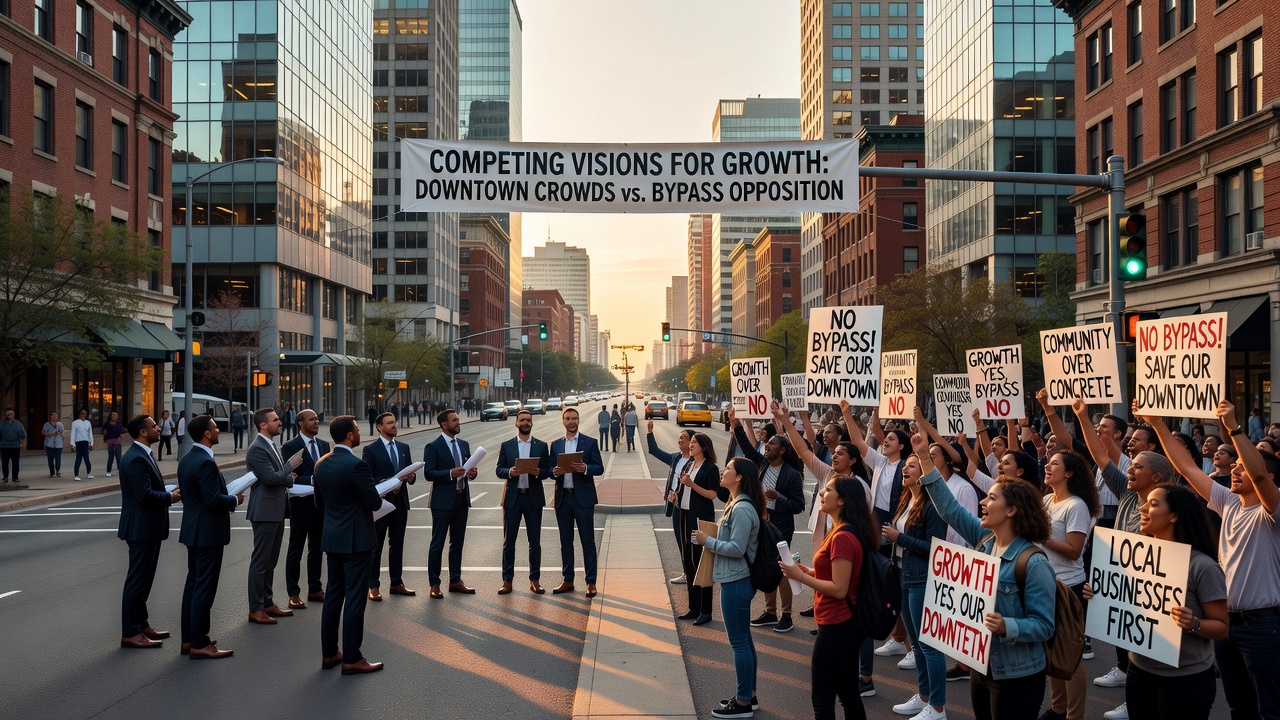
Resident coalitions and preservation groups have submitted petitions and commissioned independent traffic studies that question projected benefits, arguing instead that the bypass could accelerate commercial migration toward new interchanges. Data gathered by these organizations shows historic districts and independent retailers relying on pass-by traffic that might diminish once alternatives exist. Public meetings held throughout 2025 featured presentations from both sides, with attendance logs indicating consistent turnout exceeding several hundred participants per session.
Local elected bodies have responded by forming advisory committees that incorporate input from chambers of commerce, neighborhood associations, and environmental consultants. Minutes from these gatherings reflect discussions on mitigation measures such as enhanced transit links and facade improvement grants intended to retain vitality in the core even if regional flows change. Similar processes in other states have produced hybrid solutions that combine limited-access segments with investments in downtown streetscapes.
October 2026 Milestones and Ongoing Analysis
Scheduled events for October 2026 include the release of updated environmental impact statements and the opening of a formal comment window that will run for sixty days. Officials from multiple agencies plan joint briefings to present revised traffic forecasts that incorporate recent census updates and post-pandemic commuting shifts. Those following the process expect additional public workshops focused on design details for interchanges and landscaping buffers.
Academic researchers continue to monitor comparable projects completed in the prior decade, noting that outcomes vary according to concurrent policies on zoning density and transit frequency. Reports issued by the Australian Bureau of Infrastructure, Transport and Regional Economics illustrate how integrated land-use strategies can preserve downtown activity levels despite new peripheral infrastructure. These external references provide benchmarks for evaluating local proposals without presuming identical results.
Conclusion
Available records demonstrate that downtown pedestrian growth and bypass opposition represent measurable trends rather than isolated incidents, with each side supported by distinct datasets on mobility, economics, and land use. Planning documents and agency projections establish the parameters under which decisions will proceed through 2026 and beyond, while community participation shapes the final configuration. The interplay between these elements continues to define how municipalities accommodate expansion while addressing existing activity centers.